“Go with the Flow” Flood Mapping

Year Two of Go with the Flow is Underway!
The next phase of our Go with the Flow flood mapping project in collaboration with the University of Richmond is here!
Beginning on the first day of spring (March 20, 2026), Southside ReLeaf is launching the second year of our community science campaign to map flooding in neighborhoods across Richmond.
Last year, residents helped us identify flooding hotspots by submitting over 320 surveys and hundreds of photos — creating one of the most comprehensive community-driven flood datasets Richmond has ever had.
Year two of the campaign will focus on deepening and strengthening the data we began collecting last year.
How to Get Involved as a Flow-Rider
We began collecting data for Year 2 of Go with the Flow on the first day of spring, and the survey will remain open year-round.
Here’s how to get involved:
Sign up for text alerts to know when flooding is expected.
Submit a flood survey during and after rain events, even when it doesn’t flood in your area. It’s a mobile-friendly survey (no app needed) that asks for the date, an approximate time it rained, and the location. Photos are great but not required; it’s anonymous and only takes seconds to complete.
Encourage neighbors to participate!

Visual of what qualifies as “flooded” and “did not flood” during a rainstorm and “standing water” after a rainstorm. Created by Dr. Stephanie Spera, Associate Professor of Geography, Environment, and Sustainability at the University of Richmond.
Why Your Participation Matters

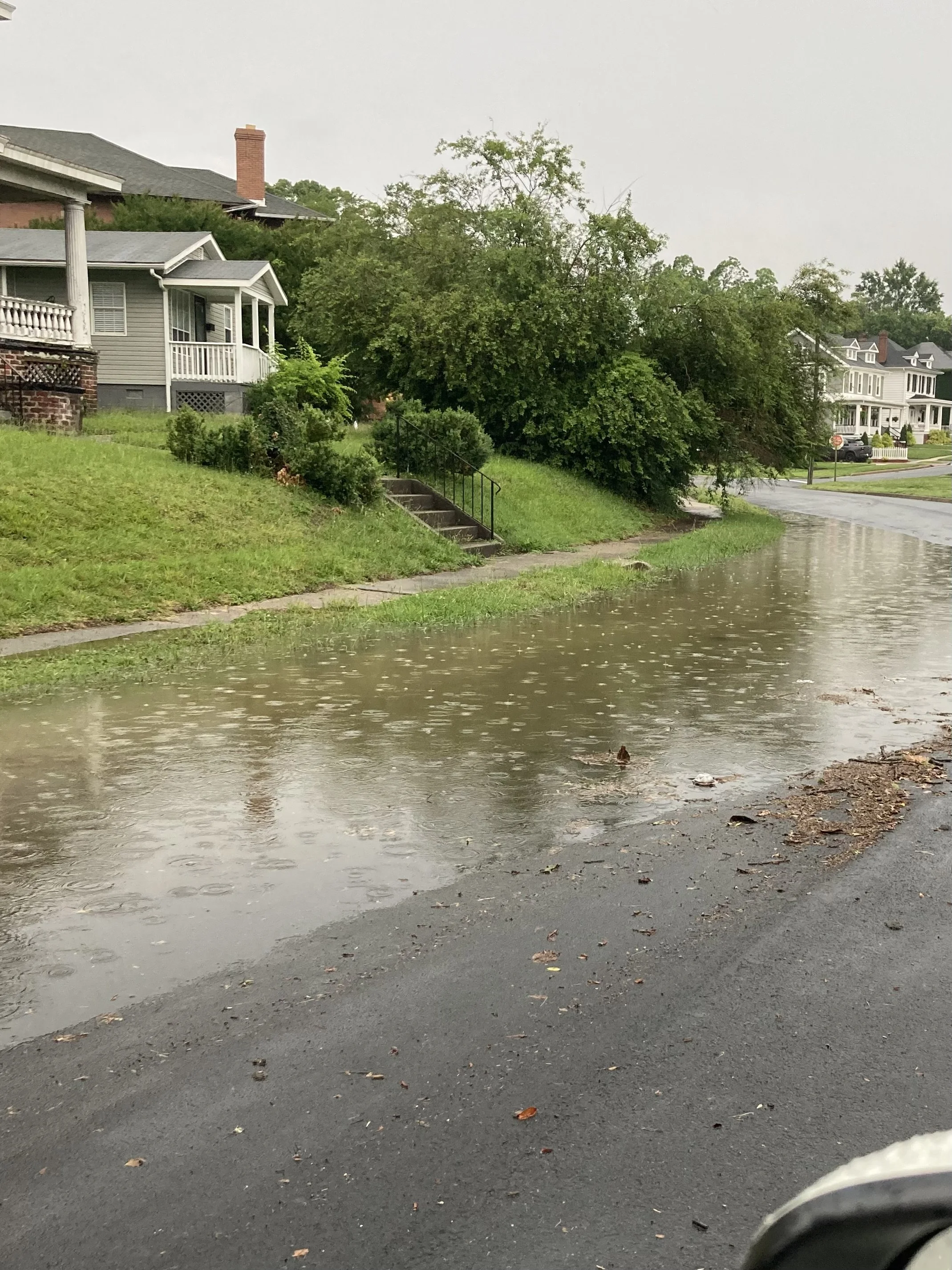
Stormwater rushes down a sloped roadway, looking for a storm drain or other channel. This photo was submitted with a survey response.
Flooding is one of the most common and disruptive climate challenges facing neighborhoods across Richmond, yet there remains a major gap in neighborhood-level data on where and how often it occurs. Without this information, it has been difficult to advocate effectively for infrastructure improvements to reduce flooding.
Through this community science effort, residents help document real flooding conditions that are often missing from official datasets. This information helps identify infrastructure failures, guide resilience investments like green stormwater solutions and tree planting, and strengthen the case for long-term funding to address flooding.
A second year of data collection is critical because it allows us to track flooding patterns over time. With another season of observations, we can better understand how rainfall affects flooding, identify areas that experience repeated problems, and provide stronger evidence to support solutions.
Every flood survey you submit helps build a clearer picture of how flooding affects our communities and turns lived experiences into actionable data for change.
Thanks to a $150,000 grant from the Jeffress Trust, Go with the Flow is expanding over the next three years to deepen community-led flood research, examine how flooding affects public health, and develop a replicable model to help communities across Virginia address local flooding challenges.
New Ways to Engage in Go with the Flow
Become a Flow-Rider District Captain
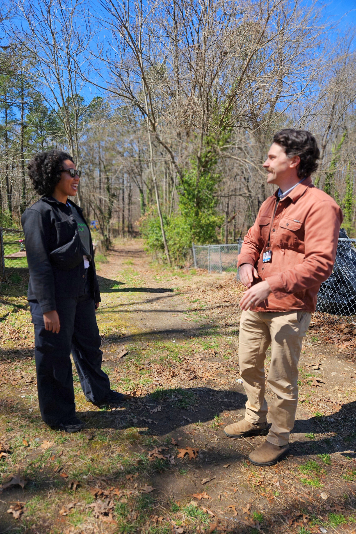
To better understand flooding across Richmond, we’re building a network of dedicated volunteers called Flow-Rider District Captains. Captains help map flooding in their council district and encourage neighbors to participate in Go with the Flow. These volunteers play an important role in helping us gather more consistent data across the city — especially in areas where flooding is underreported. Our goal is to recruit at least two Flow-Rider District Captains in each of Richmond’s nine council districts.
Join Our Canvassing Team
The Go with the Flow Canvassing Team helps us connect directly with residents in flood-prone neighborhoods and encourages their participation in our community flood mapping project. As a volunteer, you’ll help spread the word about Go with the Flow, talk with residents about flooding in their community, and invite them to submit quick flood surveys whenever it rains.
A Community Science Effort Powered by Residents

Cars spray water as they drive through flooding on a roadway after a storm, captured by a community member who submitted a flood survey.
Go with the Flow is a community science project because it relies on the knowledge and experiences of people who live and work in Richmond.
You are the expert in your neighborhood. By sharing your observations during and after rain events, you help build a powerful dataset that can:
Support research
Inform city planning
Strengthen advocacy for infrastructure improvements
Increase resilience in flood-prone communities
This data can only be collected through widespread community participation.

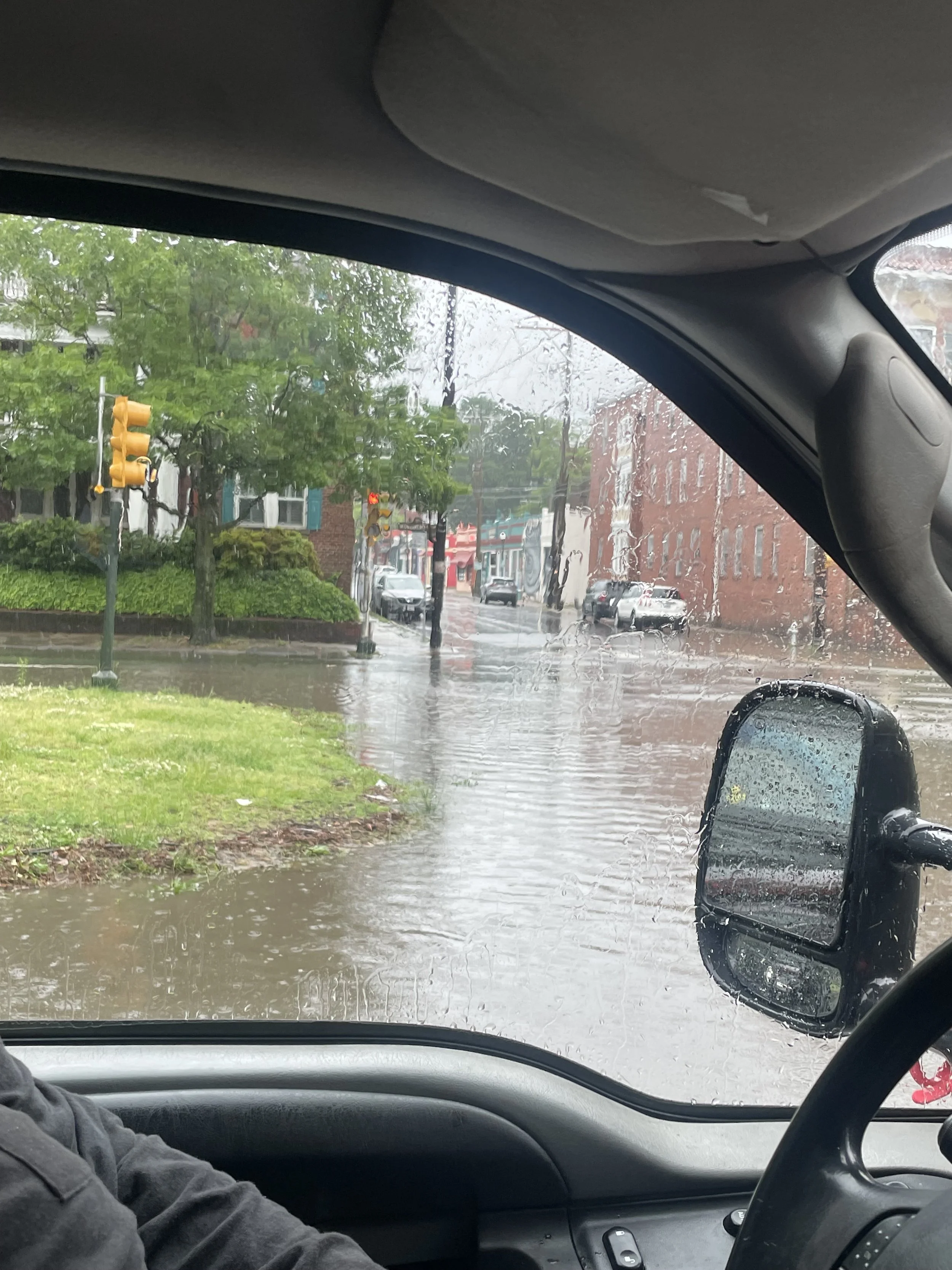
Flooding spotted at a Richmond intersection while University of Richmond students were beta testing the flood map survey during a rainstorm.

Standing water under an overpass, captured by University of Richmond students while they drove around the city to see where they encountered flooding.
Frequently Asked Questions
-
The flood survey is brief, making it easy to complete any time it’s raining or when standing water is encountered after a rainstorm. The information you’ll need in order to submit the survey includes:
The date and time that you are completing the survey
An estimate of the date and time when the rain event occurred (unless it’s still currently raining)
The address of where you are reporting that it did or didn’t flood
Whether it flooded or you found standing water at that address
An opportunity to upload a photo of any flooding you encountered
Whether or not you reported any flooding to RVA 311
Whether you’re taking the survey for the first time
Any other information or context you want to provide about your survey submission
-
According to the National Weather Service, a flood is an overflow of water onto normally dry land that may last for days or even weeks. This is distinct from flash flooding, which is caused by heavy or excessive rainfall in a short time and is usually characterized by raging torrents of water that rip through riverbeds or urban streets. No rain has to fall for flashing flooding to occur if, for example, a levee or dam breaks and releases large amounts of water.
In this project, we are primarily interested in survey data on flooding that happens as part of regular rain events in the city. We need community members to complete the flood survey during rainstorms, whether flooding is encountered or not. After a rain event, we need community members to complete the flood survey when they encounter standing water, no matter how long ago the rain stopped (whether it was hours, days, or even weeks). If a flash flood happens during the data collection period, we want to receive survey data about that too.
If you still have questions about what we mean by “flooding” or “standing water,” there’s a visual included at the top of the survey that may help.
-
No! In 2025, we heard from community members who were concerned about new flood data that may require them to purchase flood insurance. Our work to map flooding after rainfall events in Southside neighborhoods through our “Go With the Flow” project is unrelated to how federal flood insurance requirements are determined.
For more information, read our blog on Richmond’s new federal FEMA flood map, which impacts flood insurance requirements.
-
Flooding in Richmond is a larger problem than many realize, especially for the folks lucky enough to live in neighborhoods that don't experience regular flooding. According to a University of Maryland Center for Disaster Resilience report, flooding is a problem that stands to get worse as climate change causes more extreme weather events and heavier rainfall, increasing the risk of disruption, property damage and other economic loss, injury, and even death in our communities. The effects of flooding are especially disruptive to lower-income and minority residents, who are more likely to live in flood-prone areas and less likely to be covered by flood insurance.
In Richmond, flooding is caused by excessive runoff in developed areas where the water has nowhere to go. Much of the city is covered by non-permeable surfaces that can't absorb water, so instead water is funneled towards drainage systems, which are outdated and quickly overwhelmed in many areas of the city. This causes the water to back up and flood over into areas that are not usually inundated with water. By taking proactive action, starting with this project to map the scope of the flooding happening in the city, we can address flooding before it worsens.
-
RVA 311 is a free service that Richmonders can use to request help with non-emergency needs like potholes, sidewalk repair, trees, flooding and stormwater management, tax billing, streetlights, social services programs, and more. In addition to completing our flood mapping survey any time you encounter flooding in the city, it is also important to report the flooding to RVA 311 using their hotline or mobile phone app.
While the data we collect through this project will help support long-term solutions to addressing flooding in the city, RVA 311 may be able to provide more immediate support with addressing localized flooding issues. For example, in 2021 alone, RVA 311 requests led to the repair of 500 stormwater drains and debris removal from another 500 stormwater drains. Additionally, the City keeps its own data on requests they receive, which helps them allocate resources in annual budgets for infrastructure improvements. The more flooding-related requests the City receives, the more likely it is that additional funding will be allocated to help address these issues in coming years.
-
According to Xerces Society, "Community science (sometimes referred to as 'participatory science' or 'citizen science') is a form of research that provides everyone—regardless of their background—an opportunity to contribute meaningful data to further our understanding of key issues." At Southside ReLeaf, our team is small and we could only collect so much flood data on our own. By tapping into the community, our goal is to collect a much larger amount of data than we otherwise would be able to. Plus, you are the expert of your own neighborhood and localized community, so you know where it floods much better than we do.
By engaging our community in this effort, we invite everyone to take some ownership over the flooding issues they experience in their communities and to take an actionable step toward solving the problem by submitting data about flooding through our survey and, ideally, by contacting RVA 311 to report flooding.